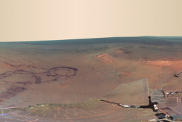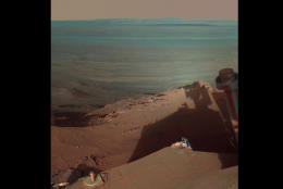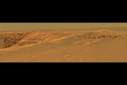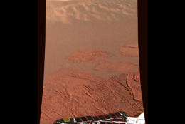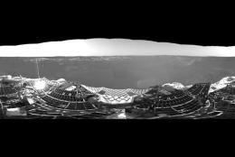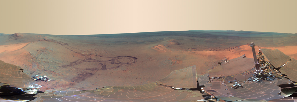
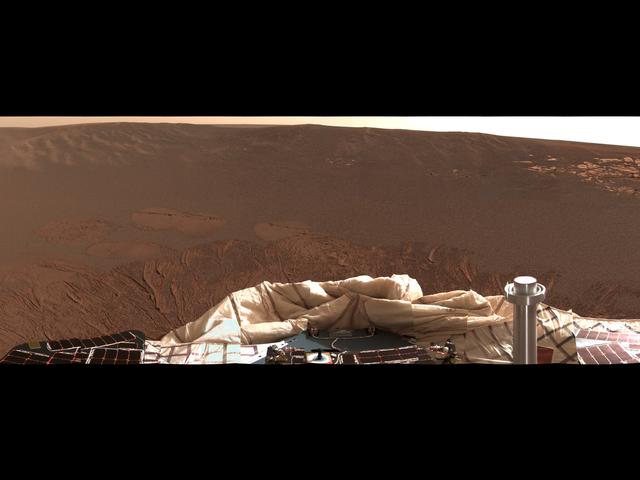
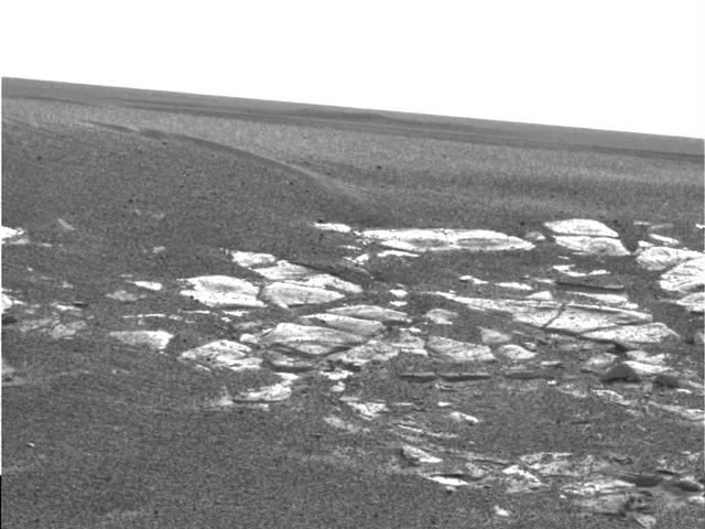
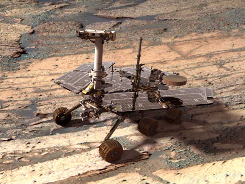
"The view provides rich geologic context for the detailed chemical and mineral work that the team did at Greeley Haven over the rover's fifth Martian winter," Arizona State University scientist Jim Bell tells USEmbassy.gov. Bell is the lead scientist for the panoramic camera on the government and academic team managing the mission.
(NASA/JPL-Caltech/Cornell/Arizona State Univ.)
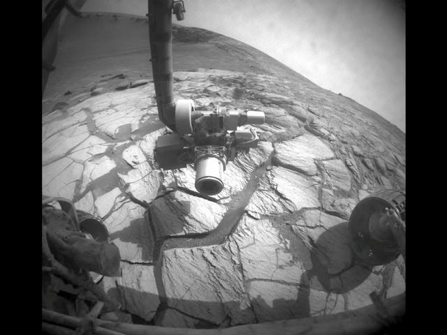
AP
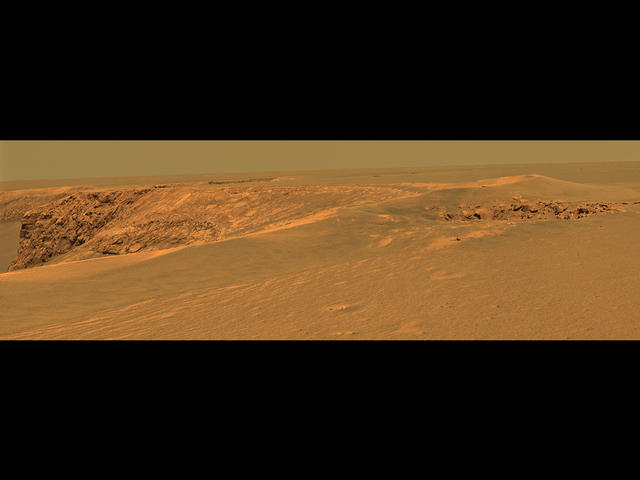
AP
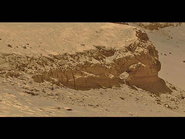
AP
AP
AP
AP
AP
AP
AP
AP
NASA.gov
NASA.gov