
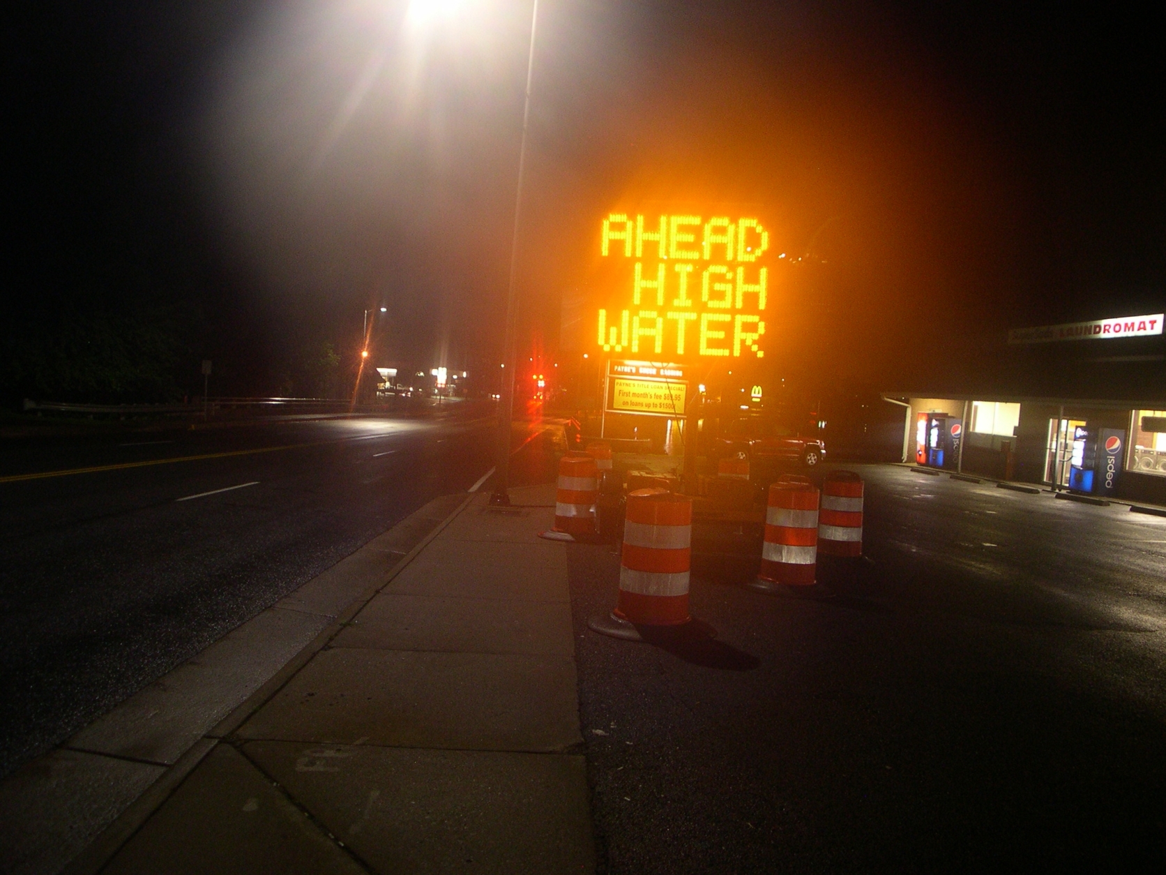

WASHINGTON – After severe weather Monday, the Washington metro area is dealing with with residual weather-related issues, and the National Weather Service is investigating a possible tornado in Howard County.
Flood warnings
A flood warning for eastern Prince George’s County has been extended until 7:45 p.m. Tuesday. A flood warning means flooding is imminent or has been reported.
The weather service said at 10:15 a.m. the stream gauge on the Western Branch at Upper Marlboro measured 10.22 feet. Flood stage is 11 feet, and the expectation was that the water levels would continue to rise.
Water Street in Upper Marlboro has flooded, the weather service says.
At 4:10 a.m., the weather service reported that flooding is expected as the Patapsco and Patuxent rivers continue to slowly rise. A warning for southwestern Anne Arundel County ended just before 11 a.m.
In Montgomery County, a flood warning for Seneca Creek at Dawsonville was canceled just after 10 a.m.
Possible tornadoes investigated
The National Weather Service received a preliminary report that a tornado touched down in Woodbine, Md., about 6:30 p.m.
The weather service will survey the area Tuesday.
See photos of the damage.
The National Weather Service also says a tornado was reported near Sykesville, although the Carroll County Sheriff’s Office said it could not be confirmed.
Power outages as of 5:30 p.m.
The storms left behind power outages.
- Dominion: About 172 in Northern Virginia — mostly in Fairfax County.
- Pepco: About 45 outages in D.C. A bad underground cable is to blame.
Contacting power companies
Should the electricity go off, here are the websites and phone numbers for area power companies:
- Pepco : 1-877-737-2662
- Dominion Power: 1-866-366-4357
- BGE: 1-877-778-2222
- Potomac Edison: 1-800- 255-3443
- NOVEC: 1-888-335- 0500
- SMECO: 1-877-747-6326
With any storm, you can listen live to WTOP from any phone at 202-380-9977. Follow @WTOP on Twitter. Text “POWER” to 91035 for a full list of power company phone numbers.
Print the electric company phone numbers.
Forecast
TUESDAY: Partly cloudy, spotty T-showers possible (40 percent chance)
Highs: Mid 80s
Wind: West 5-15 mph
WEDNESDAY: Partly cloudy, storms possible late (50 percent chance)
Highs: Near 90 degrees
THURSDAY: Mostly cloudy, widespread rain and storms possible
Highs: Low 80s
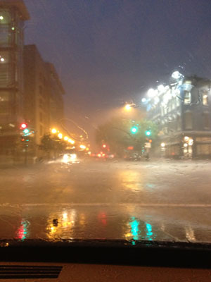
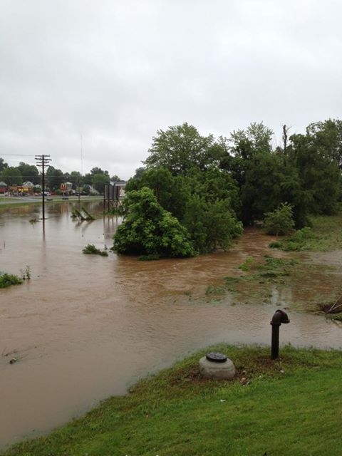
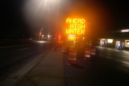
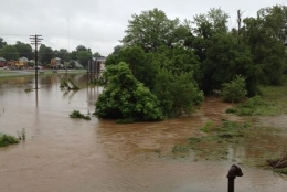
High water on Monday
Firefighters had to rescue several people trapped in vehicles Monday night.
In Montgomery County, a reader sent in the below video of Seneca Creek, which was shot at 8:18 a.m. Monday while he was standing on Huntmaster Road, looking for Davis Mill Road.
(Video courtesy Sam Coleman)
The Associated Press contributed to this story. Follow @WTOP on Twitter.