Northwest goes into the Whale's Mouth #DCWX pic.twitter.com/ElqVTXEMvC
— Dave Dildine (@DildineWTOP) May 31, 2018
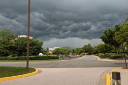
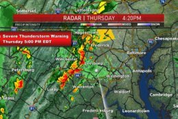
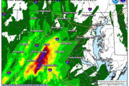
Severe storm warning for parts of Washington and Frederick Counties until 5PM. What are you seeing? pic.twitter.com/CUr951JVnC
— Amelia Draper (@amelia_draper) May 31, 2018
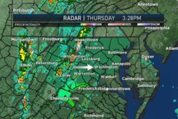
Heads up! We will have some heavy rain moving through this evening. We're currently at the 8th wettest May on record so it's only going to take a little to cause flooding issues. @dougkammerer and I will have the latest on News 4 through 7PM. pic.twitter.com/aHD0LKHp6p
— Amelia Draper (@amelia_draper) May 31, 2018
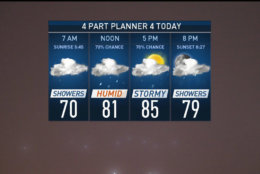
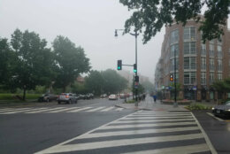
Just what we didn't need... more rain. Keep the umbrella handy for the next few days. A showery start today will taper off just long enough to allow temps to warm into the 80s before PM T-storms rain on the evening commute. #Working4You pic.twitter.com/HtCFAXEDFm
— Chuck Bell (@ChuckBell4) May 31, 2018
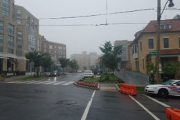
A rainy start for many this morning and thunderstorms are likely to interfere with you late day plans too. Not expecting severe storms but with saturated ground, localized flooding will be quite possible. Avoid high water at all costs. pic.twitter.com/FuuOIjlaVP
— Chuck Bell (@ChuckBell4) May 31, 2018
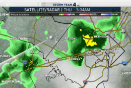
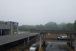


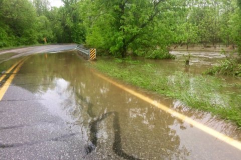
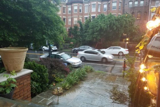
WASHINGTON — Thursday night’s storms brought heavy rain and some flooding to roadways in parts of the region, including Northern Virginia and D.C.
In Fairfax County, Virginia, which had a flood warning issued from the National Weather Service, emergency crews conducted a number of water rescues after drivers got stuck. Some roadways were also closed due to high water.
In Prince William County, rescue crews had to help several drivers that stalled trying to get through standing water. But much of the heavy rain is over for Fairfax and Prince William counties, Storm Team 4 meteorologist Matt Ritter said. However, a flood warning remains in effect until 5:45 a.m. areas in central Prince William County and the cities of Manassas Park and Manassas.
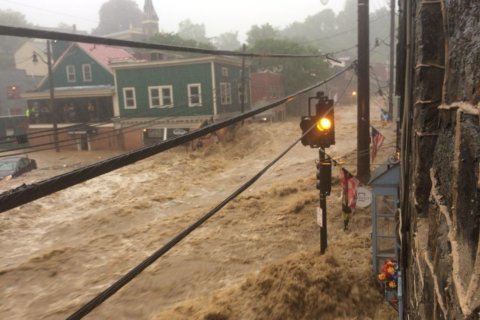
D.C. Fire and EMS tweeted around 7:35 p.m. that a car was caught in high water in Northwest, but there weren’t any occupants in the area. Waters were already receding, they added.
Quick Links:
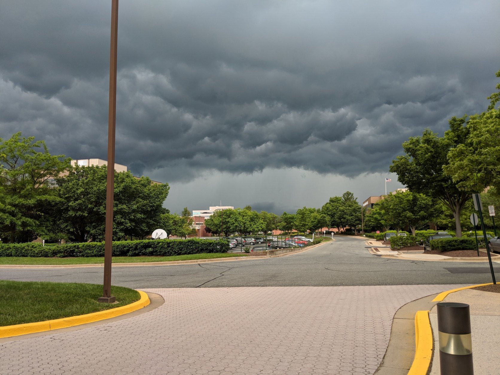
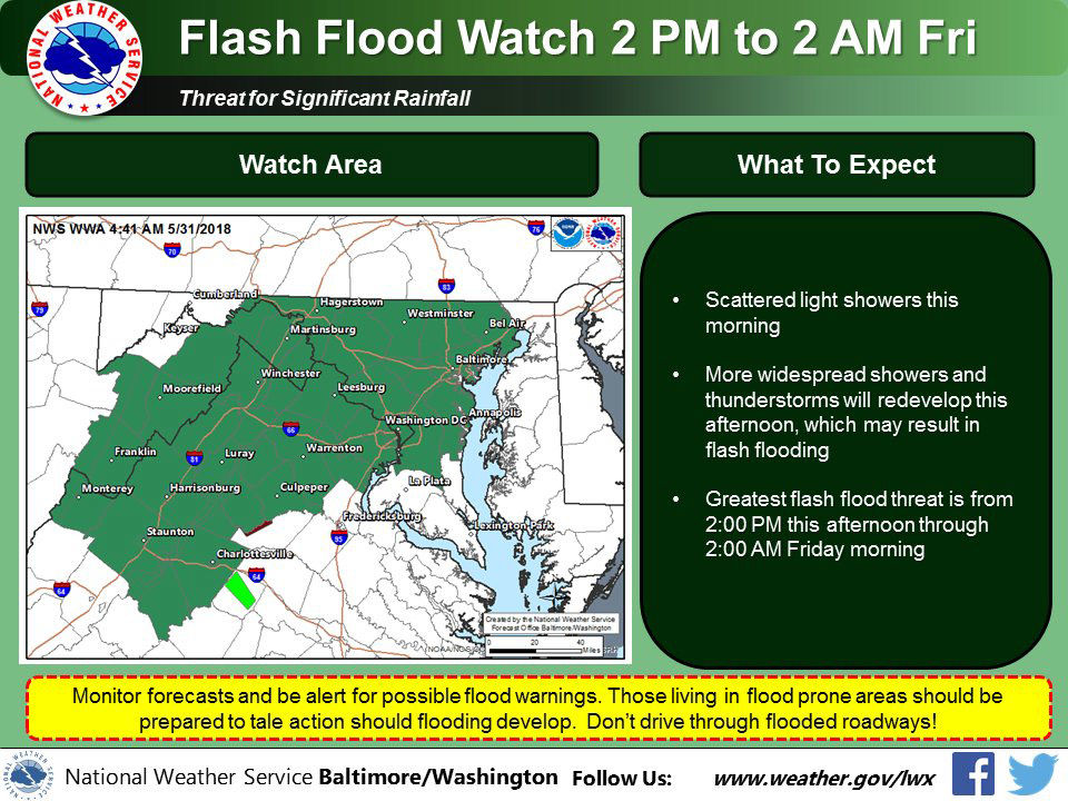
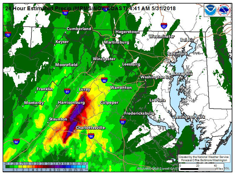
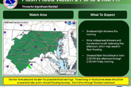
A flash flood watch was previously issued for the area until early Friday, but it is no longer in effect. Still, this month is shaping out to be the eighth wettest May on record for the D.C. area, with more rain in the forecast going into the weekend.
Ritter said, “There’s no doubt there’s some street flooding happening” for areas that may not have received a formal warning but are seeing rising waters anyway.
Related Gallery
Storms should be completely out of the region by around midnight, Ritter said. But, he added, in 24 hours, these conditions could repeat, with Friday expected to be a steamy day with storms later.
Total rainfall for the month stands at 7.41 inches, which is 3.55 inches above normal amounts, said Storm Team 4 meteorologist Amelia Draper.
Considering the already saturated ground, Draper said more flooding will be a concern since there is more rain in the weekend forecast. Looking ahead, Draper recommends thinking of indoor plans for both Saturday and Sunday, since the weather forecast is not looking too good for outdoor activities.
Storm Team4 meteorologist Chuck Bell said it could be awhile before the D.C. area sees the sun and dry weather.
“Tropical moisture continues to wash over the area, which will keep flood concerns elevated for the next several days,” Bell said. The clouds will stick around on Friday, but warm and humid weather means more thunderstorms are likely to fire up in the afternoon and evening.
Bell said Saturday might wind up being the worst day.
“An area of low pressure is expected to form over the Chesapeake Bay on Saturday, causing rain, which will last through almost the entire day,” he said. “It will be soaking wet with rainfall amounts between 1 and 2 inches likely.”
Relief should be here by next week.
Bell said a cooler and drier pattern will move into the D.C. area starting Monday. “Afternoon highs are likely to stay in the 70s all next week, with only a slight chance of rain on Wednesday,” he said.
Weekend forecast
The rain will continue into the weekend, with Saturday potentially seeing the most rainfall.
Friday
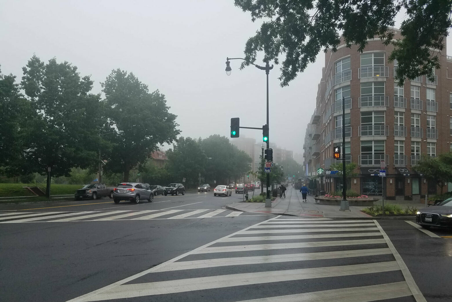
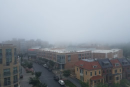
Friday will be hot and very humid with showers and thunderstorms likely. Highs will get near 90 degrees. Draper said the morning will have patchy fog, the afternoon will have storm showers and the whole day might see flooding and damaging winds.
Saturday
Saturday, at least, will be cooler, with highs in the high 70s to low 80s. Bell said a low pressure area is expected to form over the Chesapeake Bay, which could cause rain that will last throughout the day. Rainfall amounts of 1 to 2 inches are likely.
Sunday
The clouds will continue on Sunday, which is expected to be a lot cooler. Highs will be in the high 60s to low 70s. There’s still a chance of rain on Sunday, but Bell said no heavy rain is expected.
Bell said the weather is expected to improve early next week with a cooler and drier pattern moving in on Monday and afternoon highs expected to stay in the 70s all next week.
Traffic
Police in Fairfax County, Virginia, tweeted about road closures due to high water Thursday night.
UPDATE: The passing storms have closed roads due to high water – Georgetown Pike at Swinks Mill Rd, Old Courthouse Rd at Besley Rd, Lawyers Rd at Galloping Way, and Fairfax Station Rd at Innisvale Dr. Please use alternate routes. pic.twitter.com/cidrpCjqLS
— Fairfax County Police (@FairfaxCountyPD) June 1, 2018
For the most updated traffic report, visit WTOP’s traffic center. You can see a map of the latest traffic conditions below.