WASHINGTON — Drivers could soon have new options for getting around or avoiding traffic in Northern Virginia thanks to an expanding project that uses anonymized GPS and cell phone tracking data to help figure out potential solutions.
Virginia Deputy Transportation Secretary Nick Donohue says data supporting changes to programs aimed at giving people more ways to get around without driving simply didn’t exist even a few years ago.
“When we tried to figure out where people were actually going, a long time ago we had people stand on the side of the road and write down license plates, and then you’d send them questionnaires and say ‘at 4 o’clock on Friday, where were you going,” Donohue says.
But now, anonymized data can show transportation experts exactly where and when trips are starting and ending, how long those trips take, and where there were slowdowns.
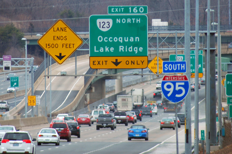
Trip data presented this week to the Commonwealth Transportation Board for sample sections of I-95 south of the Beltway show where people who began trips in certain areas are headed – including many trips that may be just a few miles, but also longer trips from part of Arlington to the area near Potomac Mills.
Laura Schewel of StreetLight Data tells the board that information can be used to create new bus, bike or carpool options that actually meet the needs of the people using the corridor.
She also analyzed data on parking near the Burke Centre VRE station as an example of how information about where people are driving to the parking lot from could contribute to suggestions for new shuttle buses or bike trails. Getting more people to the station outside of their cars would open up more parking spaces for people whose only option is to drive.
A separate example she presented showed potential opportunities to improve road connections around Tysons Corner Center. A map showed roads and neighborhoods where drivers are forced to take round-about routes to reach their destinations.
Eric Sundquist with the nonprofit State Science & Technology Institute says new technology allows not only those kinds of analyses, and bike or car sharing programs but also better matching of people who might be able to share rides to the same locations.
It also allows better analyses of proposed projects to see if they really meet a demonstrated need.
But Schewel concedes the data is just that: data on what is happening at a given time, not a crystal ball that can be blindly followed.
“One of the greatest things it can do is speed things up. Instead of waiting to find out when problems are happening, we can scan, and we will scan all of Northern Virginia to look for particular patterns that lend themselves to cost-effective and community-effective solutions,” she says.
Sundquist says a focus on things besides big highway or transit projects can help taxpayers get more bang for their buck – including by freeing up space on existing roads and transit systems.
“Supply alone is just a free lunch, we don’t price it adequately and the prices aren’t very transparent, and it’s like a free buffet – you put it out, and people consume a lot,” Sundquist says
“So maybe arrange the buffet so that you don’t have to pay for 50 pounds of steak every time somebody shows up, maybe they take some potatoes and some cheap foods too,” he adds.
Sundquist says there will be a series of presentations or other public outreach meetings as the project moves toward final recommendations.
Deputy Transportation Secretary Donohue says some more details should be available in September.
“This isn’t going to be a solution for everything, we need capacity in a lot of places, but what this is going to help us do is understand where there might be lower cost options to solve some of these problems or to help us augment the capacity that we’re putting in place,” Donohue says.