NEW ORLEANS (AP) — Decades of work haven’t shrunk the oxygen-depleted “dead zone” that forms each year in the Gulf of Mexico off Louisiana and Texas.
The National Oceanic and Atmospheric Administration is forecasting that this year’s will be about the 35-year average. That’s nearly triple the goal for reducing the area with too little oxygen for marine animals to survive.
Combining models developed by five universities resulted in a forecast of about 5,364 square miles (13,893 square kilometers), NOAA said in a news release. That’s a hair lower than the five-year measured average of 5,380 square miles (13,934 square kilometers) and about 15% smaller than last year’s measurement.
In 2001, a federal-state task force set a long-term goal of reducing the dead zone, or hypoxic area, to 1,900 square miles (4,920 square kilometers) — about 35% of the current average.
“The action plan to reduce the size of the Gulf of Mexico dead zone was established over 20 years ago, yet this year’s forecast is comparable to the 35-year average zone,” said the University of Michigan’s Don Scavia, who leads one of several research teams working with NOAA.
“Clearly, the federal and state agencies and Congress continue to prioritize industrial agriculture over water quality,” Scavia, professor emeritus at the School for Environment and Sustainability, said in a news release on the university’s website.
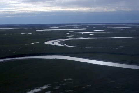
The Gulf dead zone is largely created by urban and agricultural runoff and discharges of nitrogen and phosphorus to the Mississippi River, which drains 41% of the continental United States. In the Gulf of Mexico, the nutrients feed an overgrowth of algae, which die and sink to the bottom, using up oxygen from the ocean floor up as they decompose.
Fish, shrimp and crabs can swim away. Animals that are slower or fixed to the bottom cannot.
“The Gulf dead zone remains the largest hypoxic zone in United States waters, and we want to gain insights into its causes and impacts,” said Nicole LeBoeuf, assistant administrator of NOAA’s National Ocean Service. “The modeling we do here is an important part of NOAA’s goal to protect, restore and manage the use of coastal and ocean resources through ecosystem-based management.”
The problem is by no means unique to the United States.
“The number of dead zones throughout the world has been increasing in the last several decades and currently totals over 500,” Louisiana State University scientists Nancy Rabalais, who has studied the phenomenon since 1985, and Eugene Turner wrote in a separate release Thursday.
In 1999, researchers knew of 61 hypoxic areas around the world.
The one that stretches along most of Louisiana’s coast and into Texas waters “is the second largest human-caused coastal hypoxic area in the global ocean,” Rabalais and Turner wrote.
Models used by NOAA were developed by the agency and scientists at LSU, Michigan, William & Mary’s Virginia Institute of Marine Science, North Carolina State University, Dalhousie University and the U.S. Geological Survey, which provides Mississippi River nutrient data.
Some of the universities also release their own forecasts. LSU’s, which sees nitrogen levels in May as the main driver for the area’s size in July, forecast its size this year at 5,881 square miles (15,233 square kilometers).
The Interagency Mississippi River and Gulf of Mexico Hypoxia Task Force uses NOAA’s hypoxia forecast models and USGS nutrient monitoring to set nutrient reduction targets across the Mississippi watershed states.
Officials noted that the bipartisan infrastructure law signed in November 2021 includes $60 million over five years for the Environmental Protection Agency to support nutrient reduction strategies in the watershed.
“The Hypoxia Task Force has a transformational opportunity to further control nutrient loads in the Mississippi River Basin and reduce the size of the hypoxic zone using Bipartisan Infrastructure Law funding,” said John Goodin, director of EPA’s Office of Wetlands, Oceans and Watersheds. “This annual forecast is a key metric for assessing the progress the Hypoxia Task Force is making.”
To confirm the size of the hypoxic zone and refine the forecast models, NOAA supports a monitoring survey each summer.
Because hurricanes and tropical storms roil the water and mix in oxygen, one in the two weeks before the cruise could significantly reduce the dead zone.
“If a storm does occur, then the size of the zone is predicted to be 56% of the predicted size without the storm,” or about 3,294 square miles (8,530 square kilometers), Rabalais and Turner wrote in their forecast.
Copyright © 2024 The Associated Press. All rights reserved. This material may not be published, broadcast, written or redistributed.