


WASHINGTON – While Winter Weather Advisories were canceled Wednesday afternoon, the region isn’t free from weather related dangers going into Thursday morning.
The Maryland State Highway Administration (SHA) has issued a strong plea for drivers to delay early morning travel Thursday, specifically before dawn. Near- freezing temperatures are in the forecast as well as fog, and crews need a chance to ice roads for safe travel.
“Stay off the roads early tomorrow morning, so that SHA crews have the opportunity to proactively treat roadways before morning rush hour,” said SHA Administrator Melinda B. Peters in a press release.
“When you step out and see ice on your doorstep, you can assume that roads will be icy as well. Also remember that conditions can change rapidly within just a few miles, and we ask motorists to remain on guard and exercise extreme caution tonight and tomorrow morning.”
Virginia State Police also said they’d received nearly 2,000 service calls on Dec. 26 and responded to 686 crashes statewide.
Additionally, the National Weather Service has issued a flood warning for parts of upper Montgomery County including Seneca Creek in Dawsonville until Thursday morning.
Wednesday morning’s snow is now rain and should remain that way through the night, says the National Weather Service.
Truckers were being advised to be especially careful when traveling west of the I- 95 corridor as temperatures were expected to fall below freezing. Here’s a link to the best places to ride out a storm if conditions worsen.
On Thursday, the entire WTOP listening area is under a Wind Advisory from 9 a.m. to 6 p.m. as gusts up to 50 mph are expected. The National Weather Service says the wind could down trees and impact power lines.
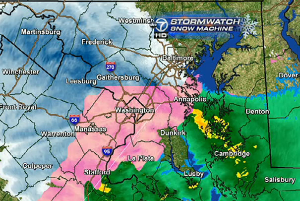
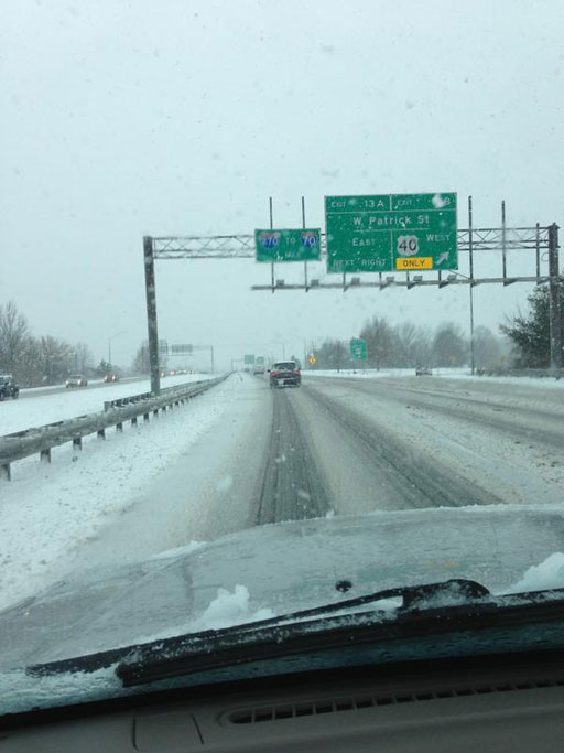
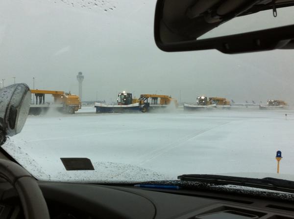
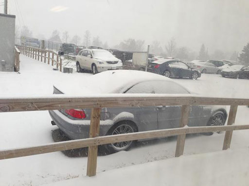
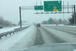
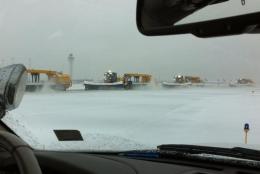
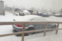
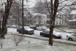
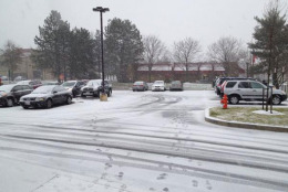
The complex storm system has covered the area with a mix of rain, sleet, snow and freezing rain. VDOT started treating and salting the roads with 400 service trucks at 3 a.m. Wednesday in preparation for the weather.
On Wednesday at 3 p.m., this was the latest snowfall information from ABC 7 meteorologist Steve Prinzivalli:
- 3.8″ Frostburg, MD
- 3″ Gore, VA
- 4″ Stephens City, VA
- 3.5″ Front Royal, VA
- 2″ Haywood, VA
- 1.8″ Leesburg, VA
- 1.5″ Westminster, MD
- 3.5″ Martinsburg, WV
- 1″ Damascus, MD
- 1″ Gainesville, VA
- 0.8″ Chantilly, VA
On Thursday, high winds are expected with temperatures reaching into the mid- 40s during the day. But, on the bright side, the sun should be out and will stay with the region through Friday.
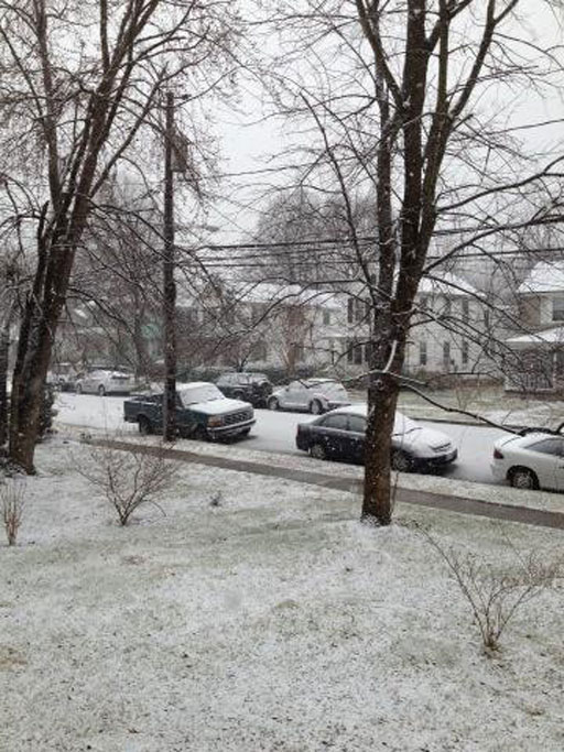
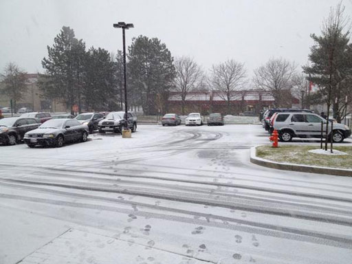
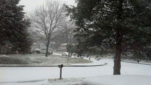
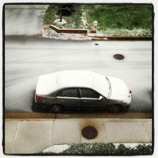
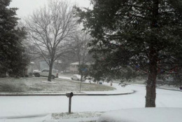
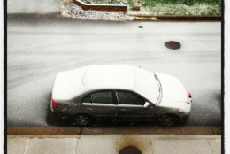
WTOP’s Kate Ryan caught some of Wednesday’s weather in action on camera. Check it out below.
Follow @WTOP on Twitter.
(Copyright 2012 by WTOP. All Rights Reserved.)